A land survey is the scientific process of measuring the dimensions of a particular area of the earth’s surface, including its horizontal distances, directions, angles, and elevations. Artificial structures, such as a road or building, may also be noted on a survey. Once these measurements are taken, they can be used to plan for development of industries, buildings, for knowing boundary, for knowing area of land and matching land with FMB sketch.
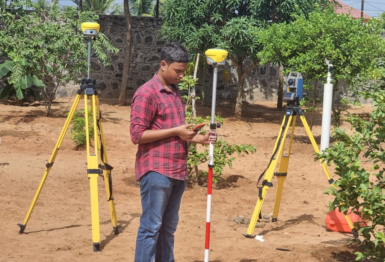
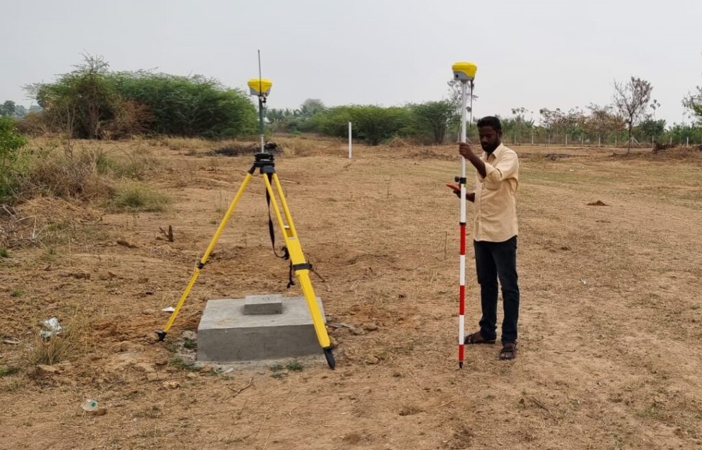
we are except in taking land survey using Drone, Dgps, Totalstation, Lidar instruments.